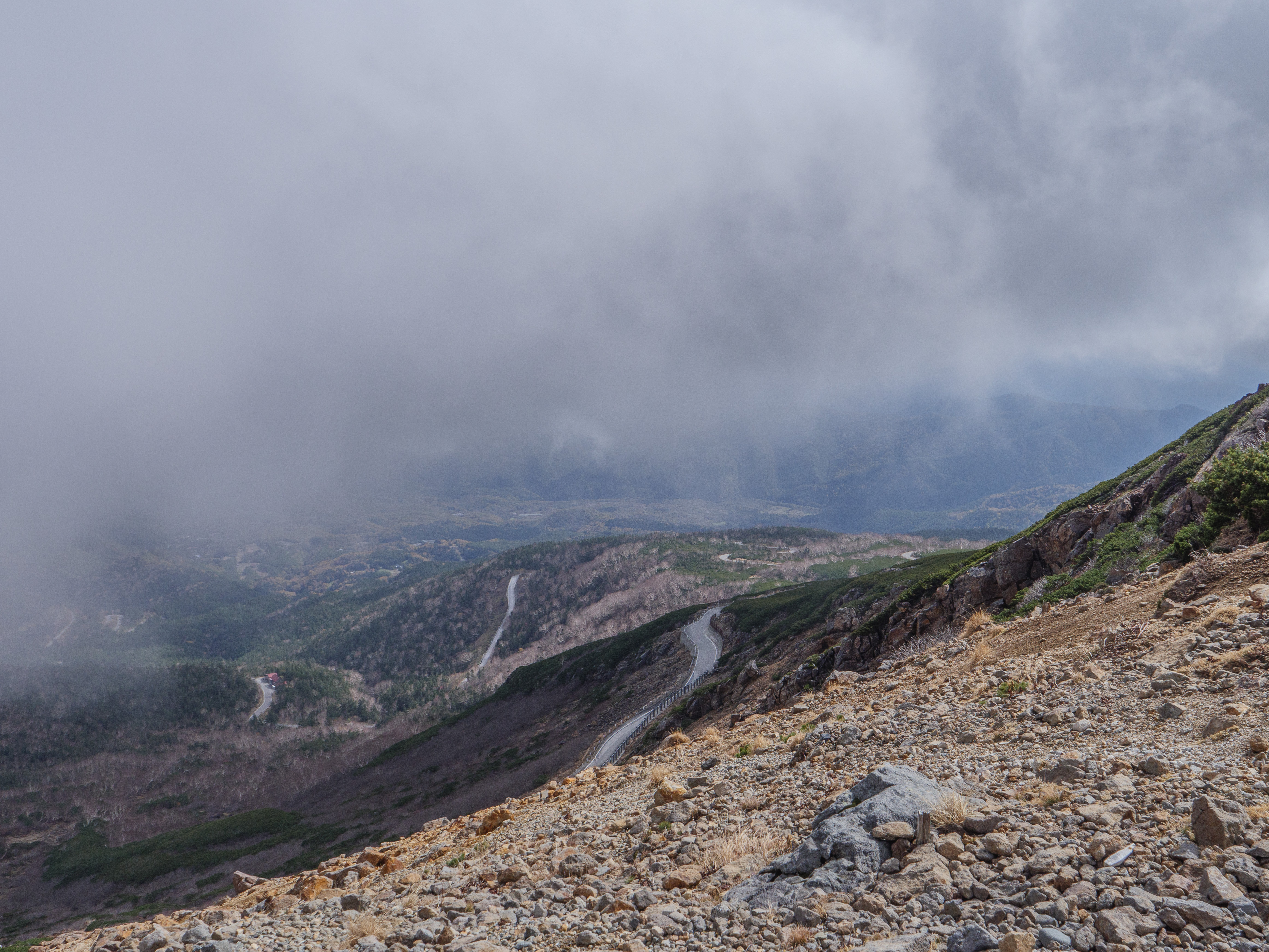
Mt. Norikura (乗鞍) is considered a rite of passage for many cyclists in Japan. It’s the highest road in the country, and only bicycles, taxis, and official buses are allowed. It’s sometimes referred to as Japan’s version of Alpe d’Huez, featuring numerous switchbacks, a 1200m elevation gain from the Norikura Heights car park, and a lengthy ride of around 19km. I’ve lost count of the number of times I’ve ridden up it since my first journey in 2005, but it’s well over 20 times, probably approaching 30. I’ve written about it previously here.

Both the Gifu and Nagano sides offer wonderful views. Going up in mid-October also provided an opportunity to photograph the majestic autumn colors. Until now, I had always ridden in June, August, or September.
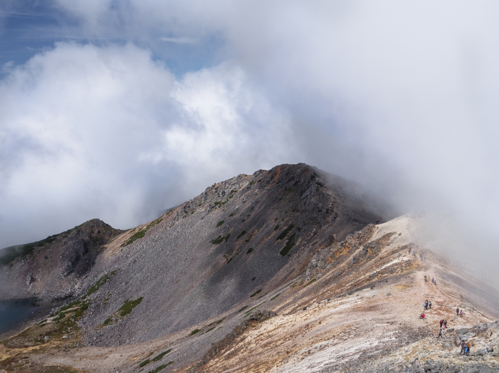
However, this year was different as it marked the first time I actually hiked all the way to the summit after the ride. The border between Nagano and Gifu prefectures stands at 2716m, with the car park just a little further along, stopping short at 2712m. However, the actual summit peaks at 3026m and involves a 90-minute to 2-hour hike, depending on fitness level and fatigue after the ride up.


Once I reached the prefectural border, I joined the long trail of hikers—some of whom had caught the bus to the car park—and gradually made my way up the trail, past the still-active volcanic crater and two small lakes to the top. I struggled for a while with the altitude once I passed the 2900m point but felt reassured when I saw all the elderly hikers and even a few children also attempting the climb.
As is typical in Japan, there was a tiny mountain hut shop and Shinto shrine at the summit where you can buy small charms, pray to the gods, or just grab a quick coffee. I don’t usually fall for cheap souvenirs, but after ordering a coffee, I found myself unable to resist the Showa-style commemorative pin badges and the official stamp for cyclists who had both cycled up and then continued on with the hike. At ¥2000, the pin badges were not cheap, but they are limited edition, and I decided that the purchase would be a way of showing gratitude to the Norikura park rangers who have continually made it possible for cyclists and hikers to reach the summit.
If you are in Japan between mid-May and late October I highly recommend giving Mt. Norikura a try. It’s situated between Matsumoto city in Nagano and Takayama in Gifu prefectures. By car it’s about 3.5 hours from Nagoya.


Leave a comment